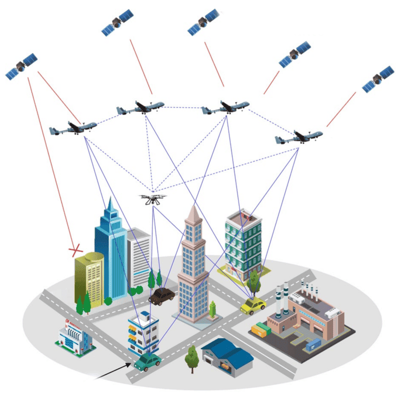
GEOJENA is a leading provider of advanced geospatial technology services. We are committed to deliver innovative, impactful and research-driven solutions to tackle complex challenges across the domains. Our expertise encompasses Geographic Information Systems (GIS) development, remote sensing, spatial data analytics, and 3D modelling, enabling clients to unlock the full potential of geospatial data. By integrating artificial intelligence (AI) and machine learning, GEOJENA improves feature extraction, pattern recognition, and predictive modelling. The cutting-edge technologies we employ can allow clients to make data-driven decisions, optimize resource management, and achieve sustainable outcomes. We offer skill-based training programs that equip clients with the knowledge and tools to use geospatial data effectively.
GEOJENA is committed to excellence - our focus on research and development keeps us staying at the forefront of geospatial technology, providing state-of-the-art solutions tailored to our clients' unique needs.
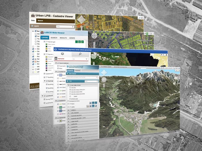
GEOJENA's services in Web GIS development offer state-of-the-art geospatial solutions through innovative technologies and cutting-edge research. The research and development at GEOJENA focus on developing new user-friendly and innovative applications and tools such as interactive 3D mapping, real-time geospatial data integration, and cloud-based scalability for transforming spatial data analysis and visualization. These include AI-driven spatial analytics, 3D visualization and open-source frameworks that bridge the gap of multidisciplinary functionality across different sectors. We focus on developing automated systems for geospatial data management & privacy, incorporating machine learning for predictive modelling, applications in urban planning, environmental monitoring, and disaster management. Our activities are driven by one goal in common: transforming technology to better inform stakeholders and provide solutions to the emerging challenges where we live. Our commitment to research-oriented solutions ensures practical solutions to national challenges and promotes efficient decision-making for sustainable development.

GEOJENA provides comprehensive training services to individuals and organizations to leverage geospatial technology effectively. Our programs encompass a wide range of topics, including Geographic Information Systems (GIS) development, remote sensing, spatial data analysis, and cartographic mapping.
Led by expert instructors, our hands-on training approach ensures participants acquire practical, industry-relevant skills in utilizing advanced geospatial tools and methodologies. The tailored programs meet diverse needs, ranging from foundational courses for beginners to specialized training for seasoned professionals. Upon completion, participants have the skills needed to explore geospatial technology for developing customized applications across various sectors.
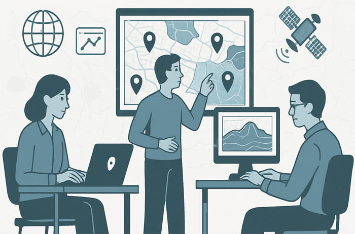
GIS research and development are crucial in addressing climate change, disaster management, and urban planning. By leveraging geospatial data and analysis, GIS aids in monitoring climate variables, predicting disasters, and making informed decisions on sustainable urban development. Its applications range from climate modelling and flood risk mapping to urban planning and green infrastructure design.