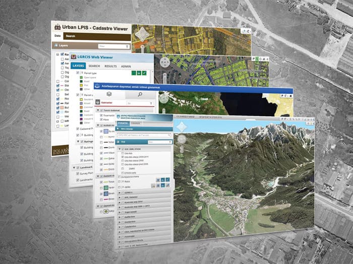
GEOJENA's services in Web GIS development offer state-of-the-art geospatial solutions through innovative technologies and cutting-edge research. The research and development at GEOJENA focus on developing new user-friendly and innovative applications and tools such as interactive 3D mapping, real-time geospatial data integration, and cloud-based scalability for transforming spatial data analysis and visualization. These include AI-driven spatial analytics, 3D visualization and open-source frameworks that bridge the gap of multidisciplinary functionality across different sectors. We focus on developing automated systems for geospatial data management & privacy, incorporating machine learning for predictive modelling, applications in urban planning, environmental monitoring, and disaster management. Our activities are driven by one goal in common: transforming technology to better inform stakeholders and provide solutions to the emerging challenges where we live. Our commitment to research-oriented solutions ensures practical solutions to national challenges and promotes efficient decision-making for sustainable development.